
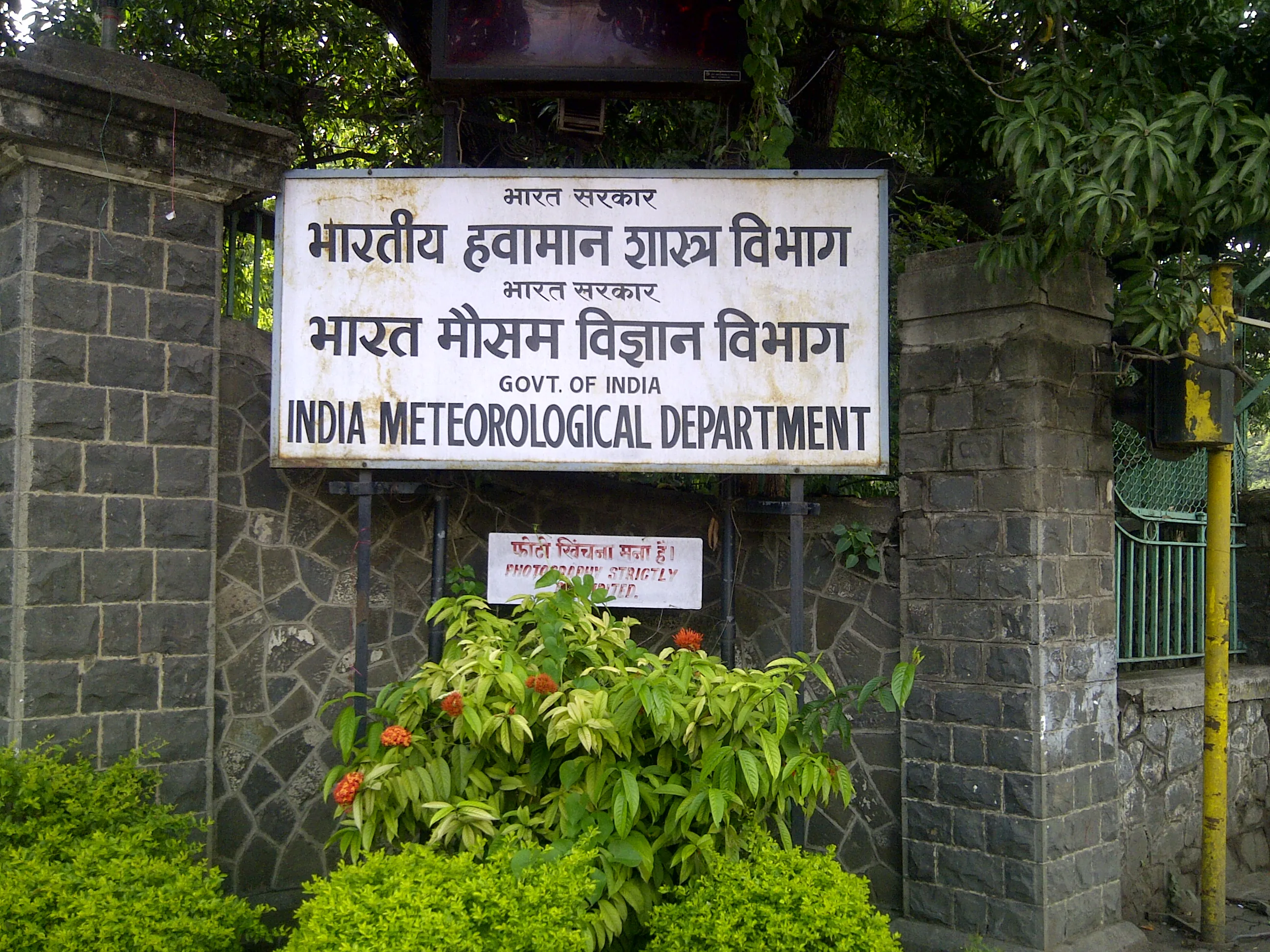
The India Meteorological Department (IMD) anticipates heavy rainfall and intense thunderstorms sweeping across Central and Northern India this Saturday, July 4. Forecasters issued a formal Orange Alert for multiple states, requiring residents to prepare for highly active weather systems moving through the region.
Northern corridors including Delhi-NCR, Punjab, Haryana, and Western Uttar Pradesh will experience a sharp drop in temperatures. And those temperature shifts bring turbulent air. The official forecast projects wind speeds peaking between 40 and 60 km/h, alongside moderate to heavy rain throughout the weekend.
The Physics of the Monsoon Advance
This widespread deluge is part of a much larger atmospheric mechanism. The Southwest Monsoon is aggressively pushing across the Indian subcontinent. Earlier this week, the system’s leading edge reached the Rajasthan-Madhya Pradesh border, which immediately triggered preemptive storm warnings across 25 different districts.
That specific progression effectively ends the severe pre-monsoon heatwaves that previously gripped the country. But relief from the heat swaps one hazard for another. The sheer volume of incoming water raises the immediate risk of urban waterlogging and dangerous lightning strikes. Continuous heavy downpours are expected to soak Chhattisgarh, Vidarbha, Odisha, Jharkhand, Bihar, West Bengal, and Sikkim. The northeastern states, including Assam, Meghalaya, Arunachal Pradesh, and Mizoram, are also tracking widespread rain and strong winds.
How the Orange Alert Alters Emergency Protocols
Meteorological warnings are more than just advice. An IMD Orange Alert physically changes the administrative posture of local governments. It upgrades the official protocol from a standard “be updated” status to a mandatory “be prepared” operational phase.
Local disaster management authorities in highly affected states like Jharkhand and Madhya Pradesh must actively ready their resources. This formal policy trigger anticipates potential power outages, localized travel disruptions, and flash flooding. It ensures utility crews and emergency services are pre-positioned rather than caught off guard by the incoming storm cells.