
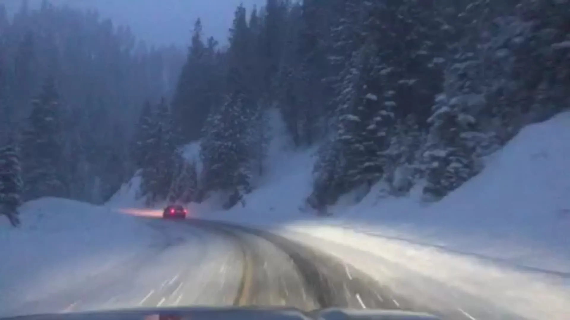
A rare closed low-pressure system stalled over south-central Idaho is plunging the region back into winter weather conditions, generating severe weather alerts just days before the July holiday weekend. The system is actively pulling unseasonably cold air into the high country of central Idaho and southwest Montana.
The National Weather Service Missoula office officially upgraded regional weather watches to Winter Storm Warnings at exactly 11:04 AM MDT on Friday. Forecasters anticipate the stalled system will plunge temperatures 30 degrees below normal seasonal averages, setting the stage for a highly unusual meteorological freeze.
Heavy, wet snow is scheduled to blanket the high-elevation regions from Saturday evening through Monday morning. General snow totals will range from 4 to 8 inches across the warned terrain. Weather models project accumulations reaching up to 12 inches on the highest peaks of Lemhi County, while the Anaconda Pintler Mountains near Georgetown Lake could see between 8 and 16 inches of accumulation.
The snowfall directly threatens infrastructure and travel routes. The localized freeze is expected to cover and impact several mountain passes, explicitly including Highway 28 from Tendoy to Lone Pine, Lemhi Pass, Bannock Pass, and US 93 over Lost Trail Pass.
Local authorities are issuing urgent advisories for backcountry users. The combination of heavy precipitation and freezing temperatures creates an elevated risk for hypothermia exposure. Officials also warned that the weight of the wet summer snow creates a high probability for downed trees, which could obstruct remote mountain roads and delay emergency response efforts.
How the Closed Low-Pressure System Forces a Summer Freeze
The mechanics of this mid-summer freeze center entirely on the behavior of the closed low-pressure system. When a low-pressure zone becomes “closed” or cut off from the primary jet stream, it stalls over a single geographic area rather than progressing eastward. This meteorological traffic jam is forcing sustained, freezing atmospheric moisture down onto the Idaho and Montana peaks.
The National Weather Service offices in both Missoula and Great Falls are coordinating the response to this rare late-June storm. By explicitly upgrading the alerts to Winter Storm Warnings for Western and Eastern Lemhi County and the Bitterroot/Sapphire Mountains, the agencies are signaling a severe physical threat rather than a passing anomaly. The upgrade requires backcountry campers and hikers to immediately alter plans and move to lower elevations before the system peaks on Sunday.
Snowfall of this magnitude in late June falls outside standard deviation models for the Northern Rockies. The immediate drop from standard summer heat to January-like winter conditions places extraordinary stress on both local vegetation and regional power grids unprepared for snow-load in the summer months.