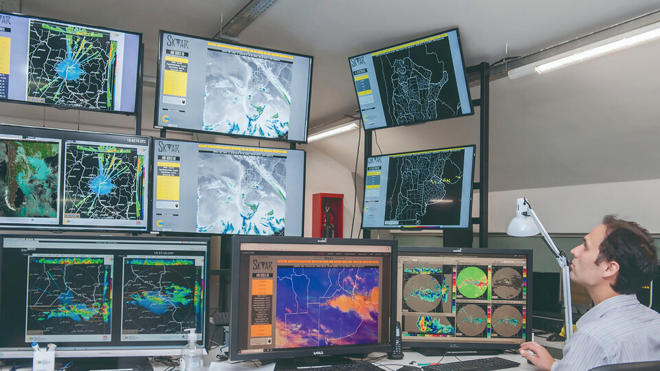
The Information System on Southern Droughts in South America (SISSA) provides information on the impact of this phenomenon for governments, private institutions and other social actors. Formed by Argentina, Bolivia, Brazil, Chile, Paraguay and Uruguay, it is based on different pillars: generating tools to monitor these natural events, as well as preparing communities to anticipate droughts or mitigate their effects.
Although the system provides drought-related information to the entire population, It has three priority socioeconomic sectors: agriculture and livestock, activities related to hydroelectric energy and river transport.. “A constant dialogue is sought from what we call demonstrative projects that, in the future, can be implemented with other sectors”, he says. Caroline Vera, member of the SISSA coordination and researcher at Conicet. In Argentina, for example, there is interaction with agricultural sectors in Córdoba and, with regard to river navigation, with the Paraná River basin area, which includes Argentine and Paraguayan territory.
This last point, points out the researcher, is an example of how much drought can affect various sectors. The river channel put the barges that transport products with a great impact on the economy in check, as the boats had to reduce their load or, directly, could not pass. “In this case, a project is being implemented that involved all bodies and bodies that were linked to water, whether ports, city halls or private transport companies”, exemplifies the meteorologist.
National meteorological services provide SISSA with a considerable amount of information. With the need for a comprehensive vision, the articulated work systems include researchers from different natural disciplines –Meteorology, Biology and Agricultural Sciences–, but also from the social and economic sciences, to understand how risk is perceived, how decisions are made and how losses are assessed.
critical scenario
The conditions of the current drought put several socioeconomic and productive sectors on alert, due to the effects that are already being observed and those that are expected in the future. According to the National Meteorological Service (SMN), Argentina received only 44% of the average precipitation in the last four months of 2022, which translates into the lowest value in 35 years.. Although early evidence shows more of a natural issue than the effects of climate change, scientists must wait for further studies to discover the causes.
“Although droughts are natural phenomena that are part of climate variability, at the same time we know that they will become more frequent due to climate change.“, Explain Karina Flores, meteorologist SMN. According to a recent report, the drought corresponds to the La Niña phenomenon, an event that occurs in the equatorial Pacific, thousands of kilometers from this region. Its main feature is that changes occur in the ocean, with the atmosphere accompanying these variations. When ocean surface temperatures drop and become colder, it is called La Niña, while when temperatures are warmer, it is called El Niño.
With three consecutive years of La Niña, the impact of the drought is increasingly serious due to the persistence of the rainfall deficit. The consequences range from the low productivity of crops to the impairment of freshwater reservoirs, which, added to other natural disasters, make up a critical scenario. “Reductions in crop yields and in soil water storage are observed, an aspect that is at its lowest value in the last 60 years. At the same time, we cannot lose sight of the large-scale fires in many parts of the country, and the heat waves that occur”, points out the expert. Both droughts and fires pose a risk to the conservation of natural areas and biodiversity.
The SMN is one of the many national organizations (along with Conicet, INTI, INTA, the National Atomic Energy Commission and several national universities) that make up the National Drought Monitoring Board, where they meet every month to exchange information and make joint reports at the national level. “Each of the organizations that have a wide territorial coverage share information on drought indicators. This way, a report is prepared with a drought risk map, which becomes a much needed input for decision makers”, points out Flores.
