
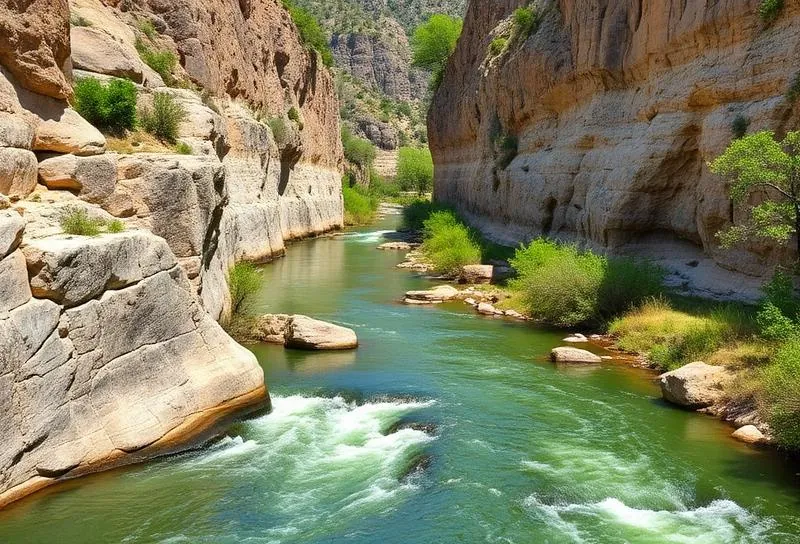
If you were planning to float down the Comal or Guadalupe rivers this weekend, you might need a backup plan. A heavy incoming storm system is threatening to completely wash out one of the busiest tourism weekends of the year in Central Texas.
The National Weather Service has officially issued a severe flood watch for the region, covering Austin, San Antonio, and the surrounding Hill Country from Friday evening right through Monday evening.
We are looking at repeated rounds of intense thunderstorms over the next few days. Meteorologists expect most affected counties to see two to four inches of rain, though some isolated spots could easily get hammered with up to six inches before Tuesday morning.
That much water moving that fast is incredibly dangerous for holiday recreation. Waterways that see heavy tubing traffic are at high risk for rapid rises and aggressive currents. City officials are explicitly warning visitors to stay away from low-water crossings, as the situation can turn lethal in minutes.
Make sure you check local park closures and monitor the radar before you pack the car or head out to the water.