
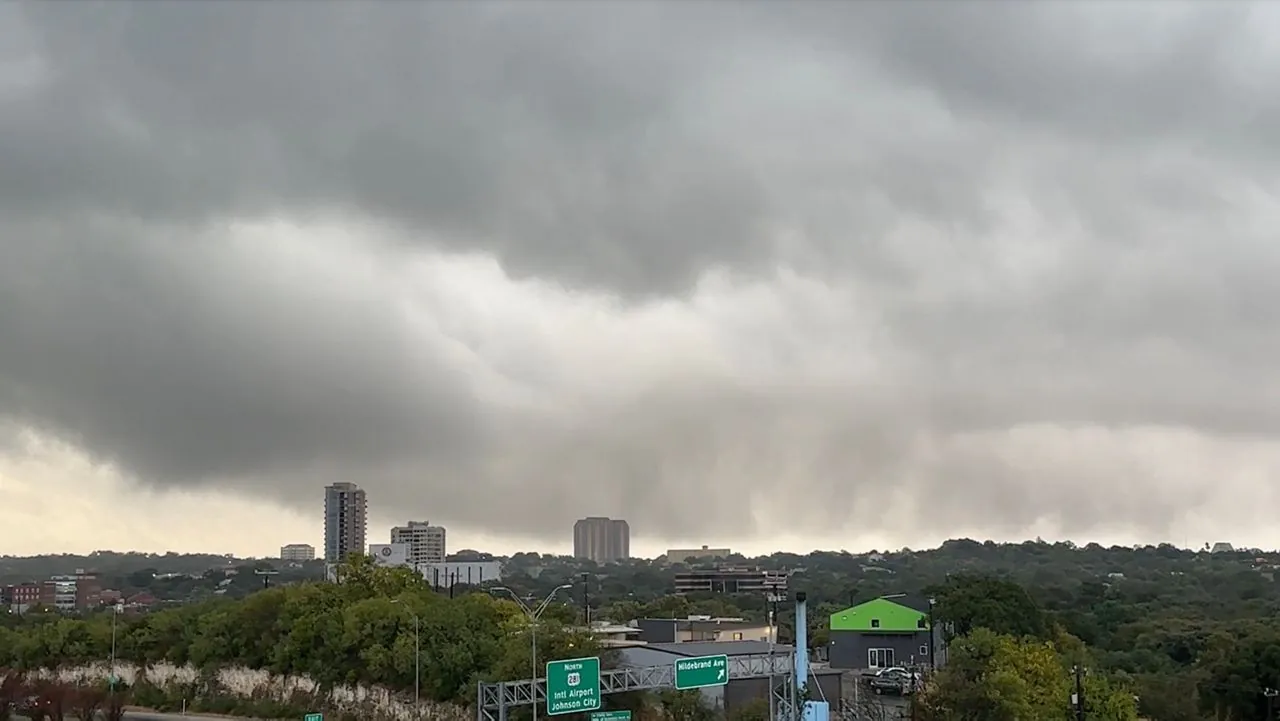
If you live in San Antonio or anywhere across South Central Texas, you need to rethink your plans for today. A massive atmospheric collision is happening right now. A cold front pushing down into the southern Plains is slamming straight into warm, sticky air streaming off the Gulf Coast. That mix is a recipe for serious trouble.
The Storm Prediction Center just escalated the situation. They threw an “Enhanced Risk” label over a massive 30,845-square-mile zone. That puts over 7 million Texans right in the path of 2-inch hailstones and a violent cold-front collision. It is not just the hail you need to worry about. Forecasters verified by the National Weather Service in Austin and San Antonio warned that these isolated thunderstorms could unleash destructive wind gusts up to 75 mph. That is enough force to snap heavy branches and turn patio furniture into projectiles.
We have seen a relentless string of these violent spring fronts lately. The damage adds up quickly for local communities and infrastructure. In fact, the ongoing threat forced Governor Greg Abbott to officially amend and renew a state severe storm disaster proclamation for May.
You need to take this warning seriously today. Move your car into a garage or under a sturdy carport if you have one. Bring in your hanging plants, secure your outdoor trash cans, and make sure your phone emergency alerts are turned up loud. These specific atmospheric setups can spin up isolated tornadoes with very little warning. Stay inside, keep away from your windows, and just let the front pass safely.