
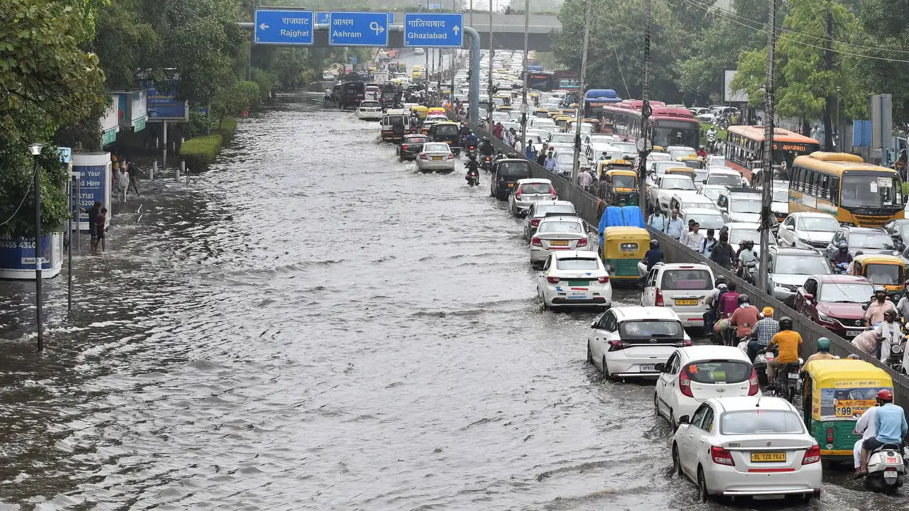
The India Meteorological Department has issued a severe weather warning for June 1, predicting intense thunderstorms and wind speeds reaching 90 kmph across 19 states. This atmospheric instability is driven by dual cyclonic circulations forming over northwestern Uttar Pradesh and the Bay of Bengal, which are actively feeding excess moisture into the subcontinent.
States including Uttar Pradesh, Bihar, Delhi, Rajasthan, and Punjab are directly in the path of these high-velocity winds. The official IMD forecast models predict 90 kmph gusts alongside specific city temperature drops, with Delhi expected to see a maximum of 35°C and a minimum of 27°C tomorrow.
In central regions, Bhopal will hit a high of 34°C, while eastern cities like Patna face intense heat at 37°C before the storms arrive. Local authorities are urging farmers and fishermen to avoid riversides and open water bodies entirely. The wind threats are highly concentrated in certain corridors, as regional advisories detail severe rain and 70 to 80 kmph wind hazards specifically targeting Rajasthan and Bihar.
Behind the scenes, meteorologists are tracking a broader anomaly. A separate typhoon developing over the West Pacific is currently pulling significant moisture away from the Arabian Sea. This interference is delaying the traditional southwest monsoon onset over Kerala, pushing the immediate heavy weather burden onto these northern and central cyclonic systems.
The Physics Behind the 90 Kmph Wind Threat
The severity of tomorrow’s weather is a direct result of atmospheric levels clashing. The cyclonic circulation over Uttar Pradesh is operating in the lower and middle tropospheric levels. At the exact same time, the secondary circulation over the central-east and southeast Bay of Bengal spans from the lower to the upper troposphere.
When these two high-energy systems interact, they force warm, moist air to rise rapidly. This creates towering cumulonimbus clouds capable of producing the heavy hail and extreme downdrafts that generate 90 kmph wind speeds at the surface. For ordinary citizens, this translates to a high physical risk of uprooted trees, damaged localized power grids, and dangerous travel conditions through the weekend.