
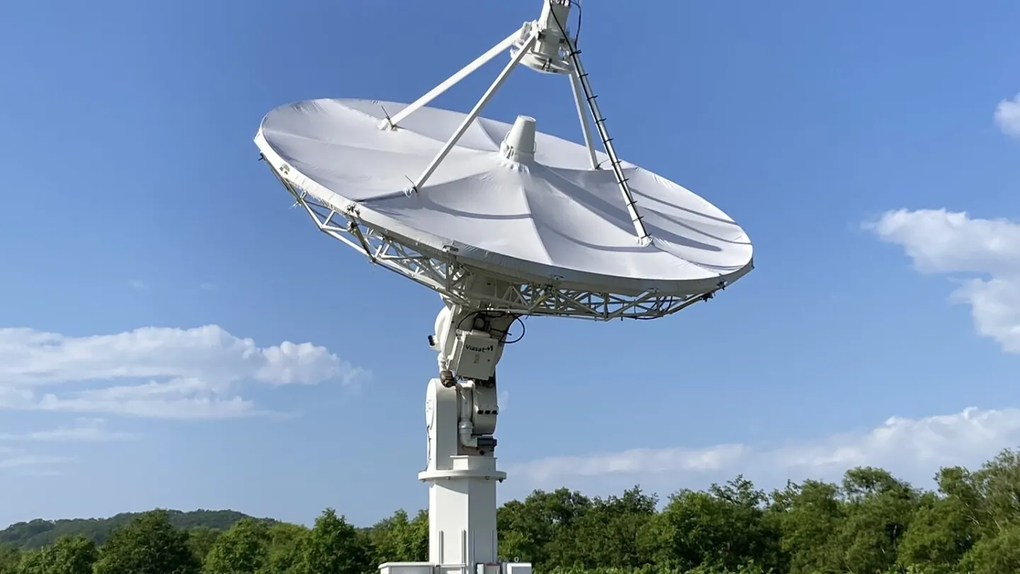
Orbital radar tracking technology works by transmitting brief pulses of high-frequency radio or microwave energy and then switching to a listening mode to catch the returning echoes. The timing of those echoes tells us exactly how far away an object is. This technology operates in two distinct directions. Space-Based Radars (SBR) are mounted on satellites and look down at Earth to map terrain, while ground-based orbital tracking radars point up into the sky to monitor fast-moving space debris. Both systems use the same underlying physics to completely map our world and the immediate space around it.
You might wonder why we rely on radar instead of just putting giant cameras in space or on the ground. Visible light is easily blocked by weather, darkness, and distance. Radar uses much longer wavelengths that simply punch right through rain, fog, and total darkness. It provides constant, uninterrupted data.
This dual-sided system is what keeps our modern telecommunications and GPS networks safe from high-speed collisions in orbit, while simultaneously helping scientists track millimeter-level changes in Earth’s tectonic plates.
Step-by-Step: The Core Mechanics of Orbital Radar
To understand how we track a chunk of metal flying through the upper atmosphere, you have to look at the basic physics of the radio waves involved. The hardware on both satellites and ground stations operates on a very strict timing loop.
First, the radar system transmits extremely brief, high-energy pulses. These are microwave or radio frequency signals. The transmitter only fires for a tiny fraction of a second. After the burst, the system immediately shuts off the transmitter and turns on an ultra-sensitive receiver. It sits in a listening mode.
When the radio waves hit a physical target—whether that is a mountain range below or a piece of satellite debris above—a portion of that energy reflects back toward the source. Because radio waves travel at the speed of light, the system simply times how long it takes for the echo to return. That exact time delay reveals the exact distance to the object.
But finding the distance is only half the job. These targets are usually moving. When a radar pulse hits an object traveling at high speeds, the frequency and amplitude of the returning wave change slightly. The radar system measures this phase shift to figure out the exact velocity of the target. We call this the Doppler effect, and it is the exact same concept that explains why a police siren changes pitch as it drives past you.
Wavelength selection is another huge piece of the puzzle. Optical sensors use very short wavelengths that bounce off the tops of clouds. Radar systems utilize longer wavelengths, ranging from the centimeter to the meter scale. We categorize these into specific bands, like X-band, C-band, L-band, and P-band. These longer waves flow around water droplets in the atmosphere, allowing the system to track objects even during severe storms.
Alternative Methods and Space-Based Radar Tools
Putting a radar system on a fast-moving satellite creates a unique engineering problem. If you want high-resolution images from orbit, standard physics dictates that you need a physically enormous antenna. For some orbital altitudes, that antenna would literally need to be several kilometers long. Since we cannot launch an antenna the size of a city into space, engineers use an alternative method called Synthetic Aperture Radar.
Synthetic Aperture Radar (SAR) is an absolutely brilliant workaround. Instead of a physically large dish, the satellite uses a standard-sized instrument. As the satellite flies forward at high speeds, it fires continuous pulses. By recording the echoes over time and processing them together, the system can mathematically simulate a giant antenna. This creates incredibly sharp, high-resolution imagery from a compact satellite.
Satellites equipped with SAR can swap between different targeting modes depending on what scientists need to see. The most common is Stripmap mode. In this setting, the radar points at a fixed angle and continuously sweeps a long, unbroken swath of terrain as the satellite flies overhead.
If researchers need a closer look, the satellite switches to Spotlight mode. Here, the radar beam is electronically steered to stay locked onto a single, specific area as the satellite passes by. This trades broad regional coverage for ultra-high resolution. For the opposite effect, ScanSAR mode fires in quick bursts across multiple adjacent areas, stitching together a view of an enormous geographic region.
Another fascinating tool in the SBR toolkit is Interferometry, often called InSAR. This technique involves taking two radar images of the exact same spot on Earth at different times. By comparing the slight phase differences in the returning radar waves, the system detects physical changes on the ground down to the centimeter or even millimeter level. Geologists use InSAR to watch tectonic plates shift, track the swelling of volcanoes before an eruption, and measure how fast glaciers are melting.
Tackling the Space Debris Problem with Ground Tracking
The other half of the orbital radar equation happens right here on Earth. Space Situational Awareness is the practice of tracking thousands of objects flying in near-Earth space. The main goal here is preventing collisions in low-Earth orbit (LEO).
Up in low-Earth orbit, objects are flying incredibly fast. A defunct satellite or a discarded rocket booster is typically traveling at roughly 17,500 miles per hour. At those speeds, even a piece of debris just one or two centimeters across acts like a bomb. It carries enough kinetic energy to completely destroy a working satellite.
Agencies track hundreds of thousands of these hazardous debris objects. The radar hardware required to do this is heavily specialized. Ground-based tracking facilities usually fall into two architectural categories: Monostatic and Bistatic.
A Monostatic radar system has the transmitter and the receiver built into the exact same facility. A Bistatic system physically separates them, placing the transmitter in one geographic location and the receiver miles away. Sometimes, engineers use multilateration, where two widely separated radar sites bounce signals off the same piece of debris simultaneously. This provides two different angles, giving flight controllers a much more precise read on the object’s trajectory.
Because the debris is often tiny, the ground dishes have to be enormous. A great example is the 34-meter TIRA parabolic antenna in Germany, which acts as a highly sensitive tracking station. The European Space Agency also built an advanced test radar in Spain specifically to find space junk. That specific monostatic system successfully proved it could pinpoint objects as small as one meter across at extreme altitudes. It even tracked the tiny Cygnus cargo module as it undocked from the International Space Station.
Real-World Case Studies and Scientific Discoveries
We have been using orbital radar to study our own planet and the wider solar system for decades. NASA launched Seasat in 1978, which completely changed how we observe the oceans. It was the first satellite to carry a SAR instrument into space. It also carried a scatterometer, a specialized radar tool used to measure ocean wind speeds by looking at the roughness of the waves.
Orbital radar tracking is also how we explore other planets. Between 2004 and 2017, the Cassini spacecraft flew around the Saturn system. Saturn’s largest moon, Titan, is covered in a thick, opaque atmosphere. Optical cameras could not see the surface at all. Cassini used an active radar instrument to punch through the haze during its fly-bys, bouncing radio waves off the surface to map Titan’s alien lakes and mountains.
Back on Earth, certain radar wavelengths like L-band and P-band possess an amazing physical trait. They do not just see through clouds; they actually penetrate dry sand and thick forest canopies. Archaeologists use these specific space-based radar tools to find hidden structures. By scanning thick jungles from space, they routinely discover the outlines of lost ancient cities and road networks that are totally invisible to someone standing on the ground.
For modern industries, radar guarantees constant oversight. Maritime agencies use satellite radar to track oil spills at night or monitor global shipping lanes through heavy fog. Environmental groups use it to catch illegal logging operations working under the cover of dense clouds. The data never stops flowing, regardless of what the weather is doing.
Frequently Asked Questions
What is Synthetic Aperture Radar (SAR)?
Synthetic Aperture Radar is an active imaging technique used on satellites. The satellite sends out rapid pulses of radio energy and records the echoes. Because the satellite is flying at high speeds, it collects these echoes over a long distance. By mathematically processing all of these signals together, the satellite simulates having a physically enormous antenna, which allows it to create incredibly high-resolution images of the ground.
How does radar see through clouds and weather?
Optical cameras rely on visible light, which features extremely short wavelengths. Water droplets in clouds and fog easily scatter and block these short waves. Radar systems use microwave and radio frequencies, which have much longer wavelengths. These larger waves easily pass around the tiny water droplets in the atmosphere, allowing radar to map the ground clearly during heavy rain or total darkness.
Why is it important to track space debris?
Objects in low-Earth orbit move at tremendous speeds. At these velocities, even a piece of debris the size of a coin has the kinetic energy of an explosive. Tracking this debris with ground-based radar allows space agencies to predict orbital paths. If a piece of space junk gets too close to a working telecommunications satellite or a crewed space station, flight controllers use the tracking data to perform a physical evasive maneuver.
What is the difference between Stripmap and Spotlight radar modes?
These are two different targeting methods used by space-based radar satellites. In Stripmap mode, the radar antenna points at a fixed angle and records a long, continuous ribbon of land as the satellite flies forward. In Spotlight mode, the radar beam is actively steered to stay locked onto one specific geographic area as the satellite passes over. Spotlight mode gives up broad, continuous coverage in exchange for a much sharper, higher-resolution look at a single spot.