
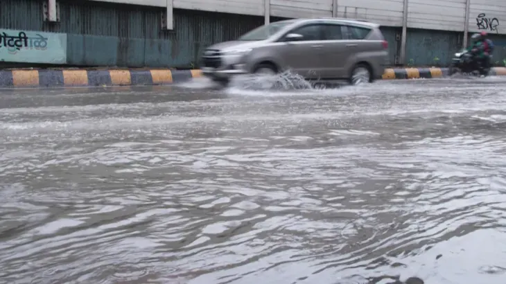
The India Meteorological Department (IMD) issued a nationwide weather alert on July 4, 2026, forecasting heavy monsoon rainfall across 22 states through July 10. The sudden atmospheric shift is already disrupting major urban transit grids. The Brihanmumbai Municipal Corporation (BMC) declared an emergency afternoon holiday for all Mumbai schools and colleges on July 4 as severe waterlogging completely crippled the Western Railway line.
A well-marked low-pressure area formed over the northwest Bay of Bengal and the adjoining north Odisha-West Bengal coasts. Meteorologists tracking the system confirm it is rapidly strengthening. This system will move west-northwestward across northern Odisha and Chhattisgarh to act as the primary driver for the extreme rainfall, according to a detailed Hindu report outlining the deep depression.
The IMD’s 14:00 IST bulletin revealed the seasonal trough currently sits abnormally south of its usual position. An off-shore trough stretching from south Gujarat to Karnataka is compounding the moisture pull along the western coast. The resulting atmospheric geometry leaves no drainage window between high-intensity downpours for coastal cities.
Dust storms, lightning, and 40-50 km/h winds will hit Jammu & Kashmir, Ladakh, Punjab, Haryana, Delhi, and Rajasthan. Extreme rain targets Odisha directly today. Himachal Pradesh, Uttarakhand, Madhya Pradesh, and Chhattisgarh face heavy rainfall alerts through the weekend. The Northeast, including Assam and Meghalaya, will see continuous downpours through July 7, while the Andaman & Nicobar Islands brace for sustained 30-50 km/h winds.
State governments are actively locking down travel routes. Maharashtra Chief Minister Devendra Fadnavis issued an urgent travel advisory, urging residents in the Mumbai Metropolitan Region and the Pune-Nashik belt to cancel unnecessary trips through July 6.
How the Southward Trough Shift Amplifies Urban Flooding
When the monsoon trough positions itself south of its normal latitude, the heaviest rainfall band shifts directly over central and peninsular India rather than the Himalayan foothills. This specific meteorological alignment explains why coastal and central regions—specifically Maharashtra, Chhattisgarh, and Odisha—are experiencing sudden, overwhelming water volumes.
The dual interaction between the Bay of Bengal low-pressure system and the active Gujarat-to-Karnataka off-shore trough creates a concentrated funnel of atmospheric moisture. Rain systems moving inland from the eastern coast collide with the high-moisture air pulled in from the Arabian Sea. The resulting precipitation rates easily overwhelm municipal infrastructure engineered for standard rainfall averages, forcing immediate municipal shutdowns like the ones seen across Mumbai’s Western Railway.