New research reconstructs the story of the Bering Strait floods, raising surprising questions about human migrations between Eurasia and the Americas and the formation of ice sheets
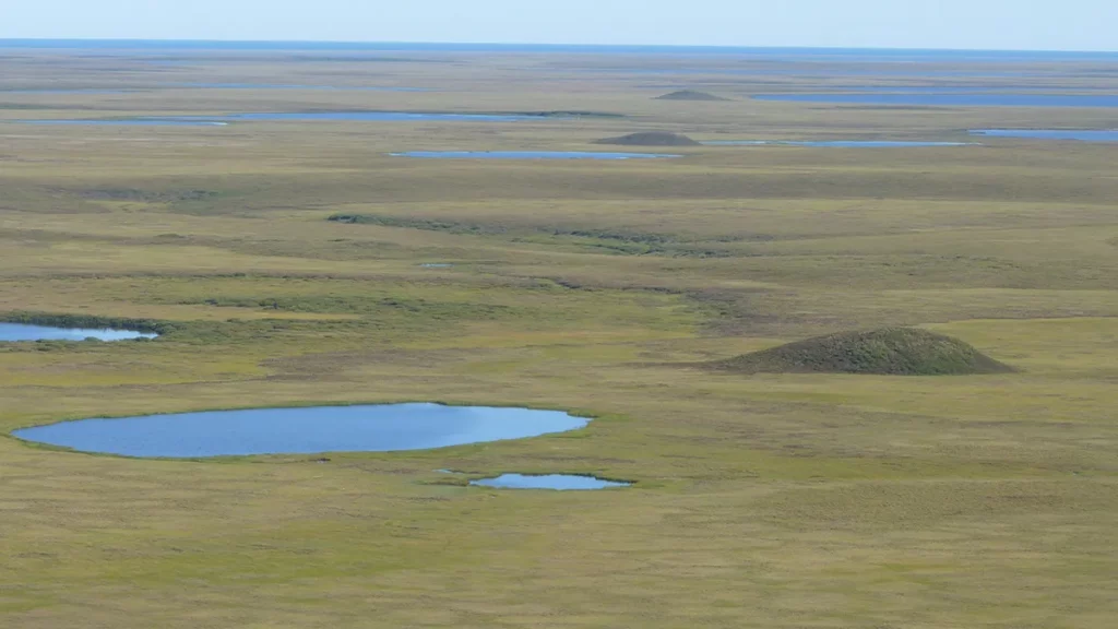
Today, the Bering Strait is a narrow, shallow waterway (about 85 kilometers wide and 40 meters deep) that separates Russia from Alaska and connects the Pacific and Arctic oceans. But for part of its history, the region was a land route between continents.
The so-called Bering Land Bridge may have been the route by which the first settlers arrived in North America from Asia. Using a new methodology, the researchers determined the timing of the Bering Strait’s transition from water to land. They found that the Bering Land Bridge didn’t come into being until about 36,000 years ago, much later than previously thought.
During the height of the last ice age, between 26,500 and 19,000 years ago, glacial ice held enough water that global sea levels were about 130 meters lower than they are today. The Bering Strait had disappeared and a land bridge appeared in its place. When the ice sheets melted around 13,000 to 11,000 years ago, the Bering Strait filled with water again.

The Bering Land Bridge National Reserve on the Bering Peninsula (Alaska) is currently above sea level. Credit: Bering Land Bridge National Preserve, Flickr, CC BY 2.0
It wasn’t the first time ice had absorbed the sea. Vast ice sheets have grown and receded many times over the last 2.5 million years. But if we look beyond the last ice age, paleoscientists find it difficult to study the comings and goings of the Bering Strait. As Tamara Pico, a sea level expert at the University of California, Santa Cruz, explains, “Ice sheets are like bulldozers, as they grew up to the Last Glacial Maximum, they destroyed the remnants.”
Fortunately, a unique chemical signature buried in marine sediments has allowed researchers to piece together the story of the Bering Strait floods.
submerged tests
Nitrogen flowing into the Arctic Ocean from the Pacific Ocean through the Bering Strait has a unique ‘fingerprint’. Its ratio of heavier and lighter isotopes makes it very different from any other nitrogen that makes it to the Arctic Ocean. This proportion is conserved in seafloor plankton debris. When it appears in Arctic sediment cores, it is a clear sign that water was flowing through the Bering Strait at the time when plankton lived.
The researchers analyzed sediment cores from the western Arctic Ocean dating back nearly 50,000 years, collected by the US Geological Survey in a 1994 expedition. suggested that the Bering land bridge first appeared about 70,000 years ago. But the first nucleus analyzed by the team indicated that the Bering Strait was flooded until about 36,000 years ago. Surprised, they examined two other sediment cores: all three Arctic sampling points showed the same thing.
The timeline outlined by the study is significant because scientists often think of glacial cycles as following a “sawtooth” pattern. The idea is that the ice builds up slowly and steadily, followed by a quick melting period. But the Bering Land Bridge surprisingly appeared close to the Last Glacial Maximum, meaning sea levels dropped and ice sheets grew faster than the canonical sawtooth pattern predicts. Although global temperatures have cooled, there has been a delay before ice sheets form. The team posted their conclusions in the journal Proceedings of the National Academy of Sciences of the United States of America.
Change the history books of mankind
The discovery that the Pacific and Arctic were actually connected and were exchanging nutrients at a time when scientists assumed they weren’t has many implications for understanding the history of the Arctic Ocean. This includes the human element: a shorter-lived Bering land bridge could mean a narrower window in which land migration to North America can take place.
However, there are also indications that the settlement of Alaska and North America was not necessarily related to sea level, as these people were fantastic coastal navigators and managed to reach America much earlier.
REFERENCE
The Bering Strait was flooded 10,000 years before the Last Glacial Maximum
