
The National Weather Service has placed Southeast Florida, the Treasure Coast, and nine Central Florida counties under a multi-day flood watch starting Tuesday, Nov. 17, 2026, as a stalled weather system brings strong winds and up to 10 inches of rain through Friday evening. Forecasters warn that the heaviest rounds of showers and thunderstorms on Wednesday, Nov. 18, and Thursday, Nov. 19, could trigger rapid street flooding in low-lying areas and hazardous driving conditions.
Sources differ slightly on the exact Tuesday start time for Palm Beach County. WPTV First Alert Weather and RusTourismNews reported that the Palm Beach County watch takes effect at 1 p.m. EST on Tuesday and lasts through Thursday evening. Point forecasts from the National Weather Service Miami office and CBS News Miami listed the watch for Miami-Dade, Broward, and Palm Beach counties as running from 5 p.m. EST Tuesday until 7 p.m. EST on Thursday, Nov. 19. Along the Treasure Coast, including Vero Beach, Sebastian, Fort Pierce, Port St. Lucie, Stuart, and Jensen Beach, as well as across nine Central Florida counties, the watch begins at 5 p.m. Tuesday and continues through Friday evening, Nov. 20.
Where the flood watch and coastal advisories apply
CBS News Miami meteorologist Dave Warren reported that a weak low-pressure system over the Gulf is stalling near the state while a stationary boundary lies draped across central Florida, pooling moisture over the peninsula. WPTV projected 4 to 6 inches of rain across Palm Beach County and the Treasure Coast, with isolated neighborhoods receiving up to 10 inches. Across Miami-Dade, Broward, and Palm Beach counties, the National Weather Service forecast 2 to 4 inches of rain for most areas, 6 to 8 inches in smaller pockets, and isolated totals topping 10 inches where storms repeatedly track over the same ground at rates of 1 to 2 inches per hour.
Farther north, the NOAA Weather Prediction Center placed Florida’s Atlantic coast from Miami through the Treasure Coast, Space Coast, and Jacksonville to the Georgia border under a Level 2 of 4 Slight risk on its flash flood warning scale for Tuesday and Wednesday, citing storm rainfall rates of 2 to 3 inches per hour. In Volusia County, which falls under the Central Florida watch through Friday, BeInsure reported that meteorologists expect around 12 inches of rain, while some forecast models indicate 18 to 24 inches could fall.
Strong onshore winds are also creating hazardous marine conditions. The National Weather Service and CBS News Miami reported that a High Surf Advisory and a Rip Current Statement remain in effect for Broward and Miami-Dade counties through 7 p.m. EST Thursday, with breaking waves forecast to reach 7 to 10 feet. On inland roads, the WPTV First Alert Weather team warned commuters on Tuesday: “Turn around, don’t drown! Never drive through flooded roadways. It only takes a little water to sweep a vehicle away. Give yourself extra time, stay weather-aware, and use caution around standing water.”
Canal preparations and municipal emergency orders
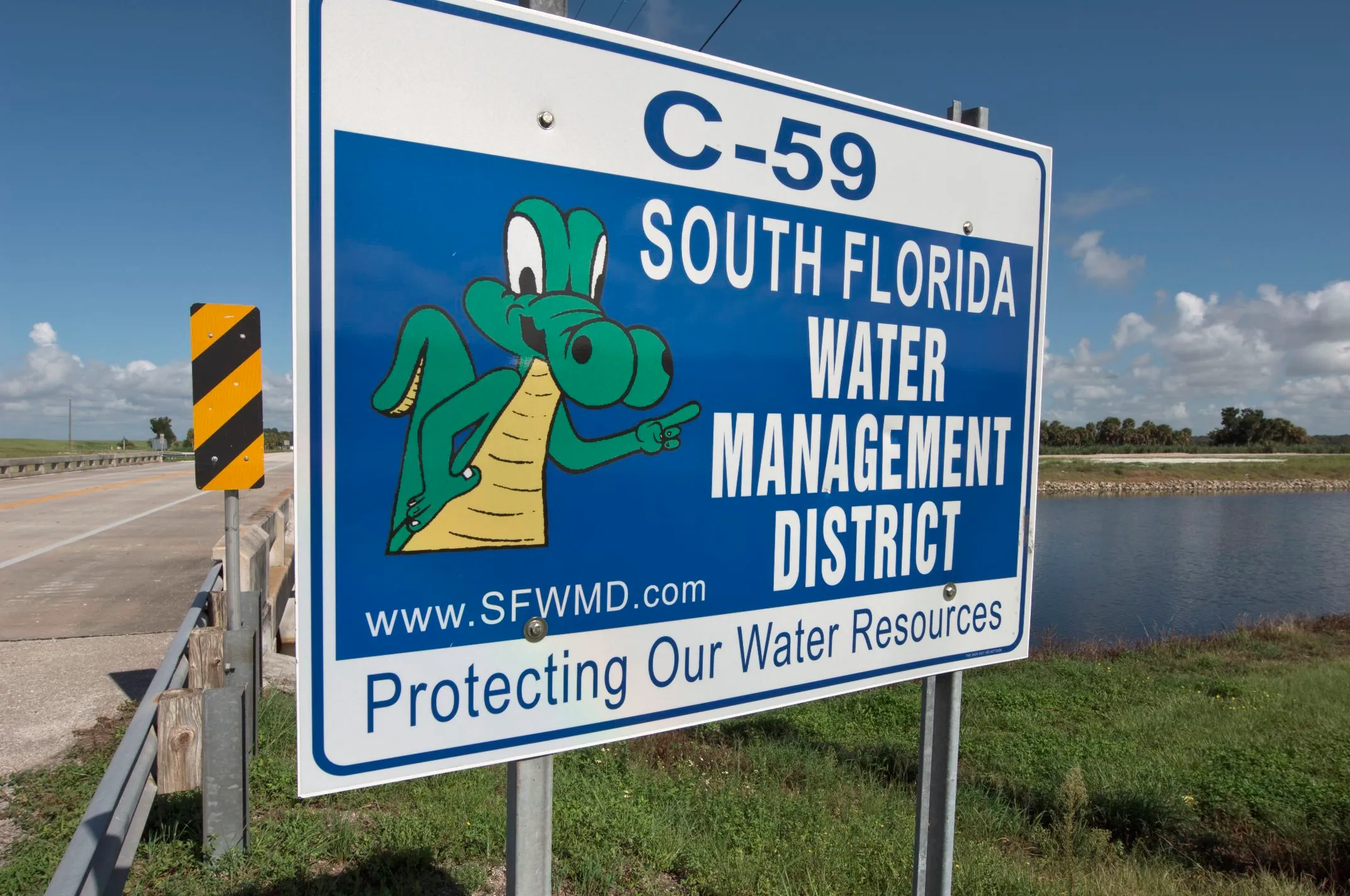
Water managers and city governments began draining regional waterways before the heaviest bands arrived. South Florida Water Management District spokesperson Armando Vilaboy told WPLG Local 10 News, as cited by NewsRadio WFLA, that the agency lowered regional canals to their lowest operational point ahead of the rain, and that Lake Okeechobee is also operating at its lowest level to handle incoming runoff.
On Monday, Nov. 16, the City of West Palm Beach issued a notice titled “Weather Alert | Heavy Rainfall & Potential Flooding November 17–19” and extended its municipal state of emergency. City officials urged residents to stock up on drinking water, nonperishable food, and medications in case street flooding impedes local travel. “The extension allows the City to maintain emergency measures, coordinate resources and continue supporting affected residents,” the city stated in its release, directing residents needing assistance to a Multi-Agency Resource Center at the Wells Recreation Center in Riviera Beach, open from 7 a.m. to 7 p.m. WPTV also reported that Riviera Beach officials are weighing a proposed $2 million flood relief plan for affected households.
Saturated ground from early November storms
This week’s rain falls on ground and rivers still recovering from a severe deluge two weeks ago. Between Oct. 31 and Nov. 3, 2026, flash flooding dropped 5 to 10 or more inches of rain across much of the Florida peninsula, while parts of the Space Coast recorded up to 28 inches in 36 hours, prompting Florida Gov. Ron DeSantis to request an expedited federal major disaster declaration on Nov. 3. According to the National Weather Service Melbourne office, sections of the St. Johns River near Cocoa and Lake Harney remained under active flood warnings entering this week.
After the heaviest downpours pass on Wednesday and Thursday, WPTV forecasts gradual clearing beginning Friday, Nov. 20. A few passing showers may linger into Saturday, Nov. 21, before drier, sunnier weather returns on Sunday, Nov. 22, with afternoon highs holding in the low 80s Fahrenheit.