
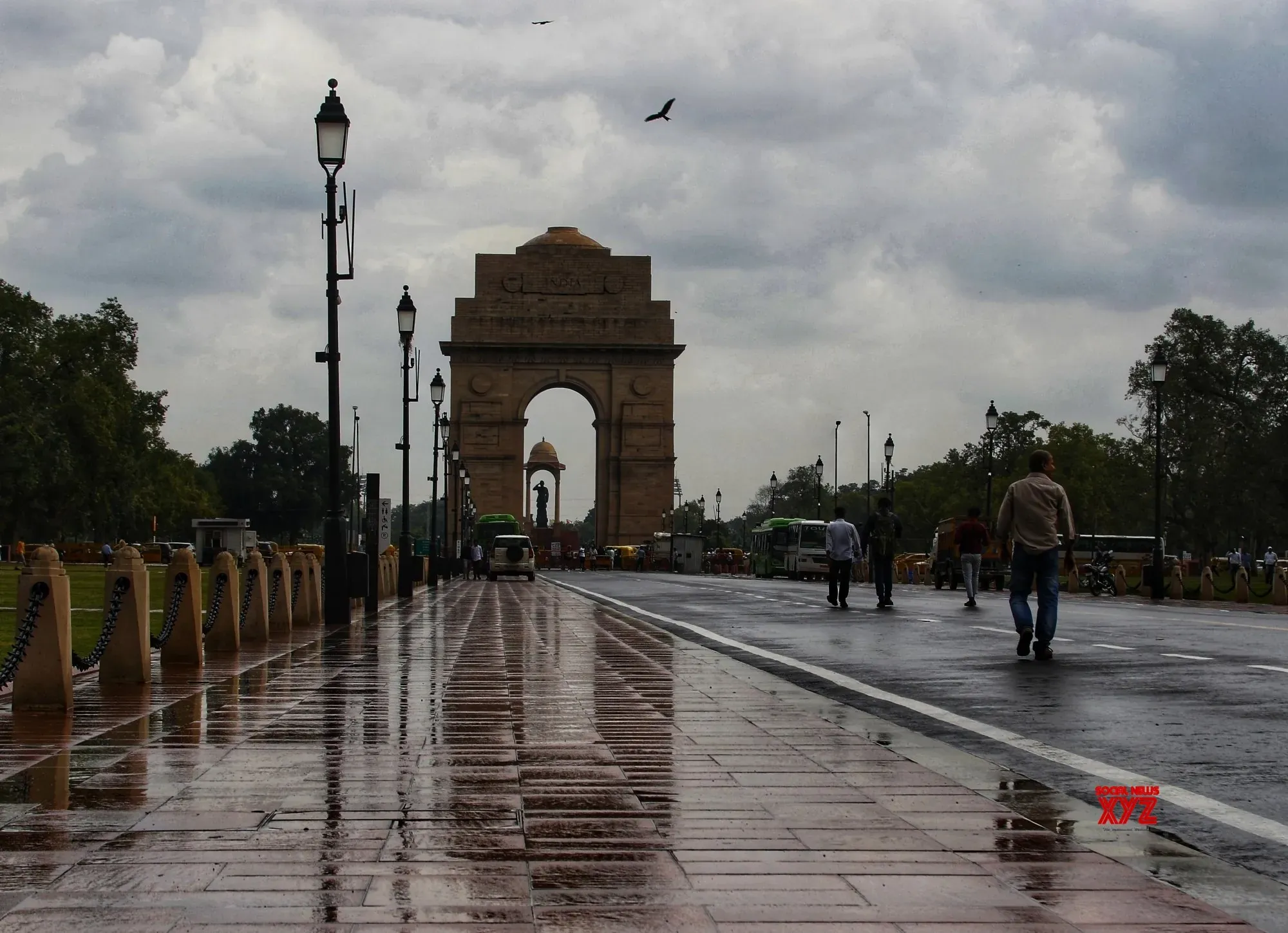
An active western disturbance clashing with extreme regional heat has triggered an urgent red alert across the Delhi-NCR region tonight. The India Meteorological Department and the National Disaster Management Authority issued the warnings as a severe storm system, generated by intense heat convection over Haryana, moves eastwards directly toward the capital.
Following a day where local temperatures peaked above 41°C, the incoming squall is forecast to bring intense thunderstorms, heavy rainfall, and potential hailstorms. Wind speeds are projected to hold between 70 and 90 kmph, with violent gusts potentially reaching 100 kmph during a critical three-hour window overnight.
Authorities have explicitly instructed residents to remain indoors, avoid all unnecessary travel, and secure loose outdoor items. The IMD red alert also advised citizens to unplug electrical appliances due to the high risk of lightning strikes and falling debris.
The extreme weather is not localized strictly to the capital. The cloud system is expected to impact parts of Punjab, Haryana, western Uttar Pradesh, and Rajasthan overnight and into Friday morning. This intense pre-monsoon activity provides temporary relief from the severe heatwave conditions that have dominated northern India in recent weeks.
Meteorological officials note this storm activity acts as a precursor to the Southwest Monsoon. The annual monsoon is officially projected to arrive in the capital region between June 25 and June 30.