
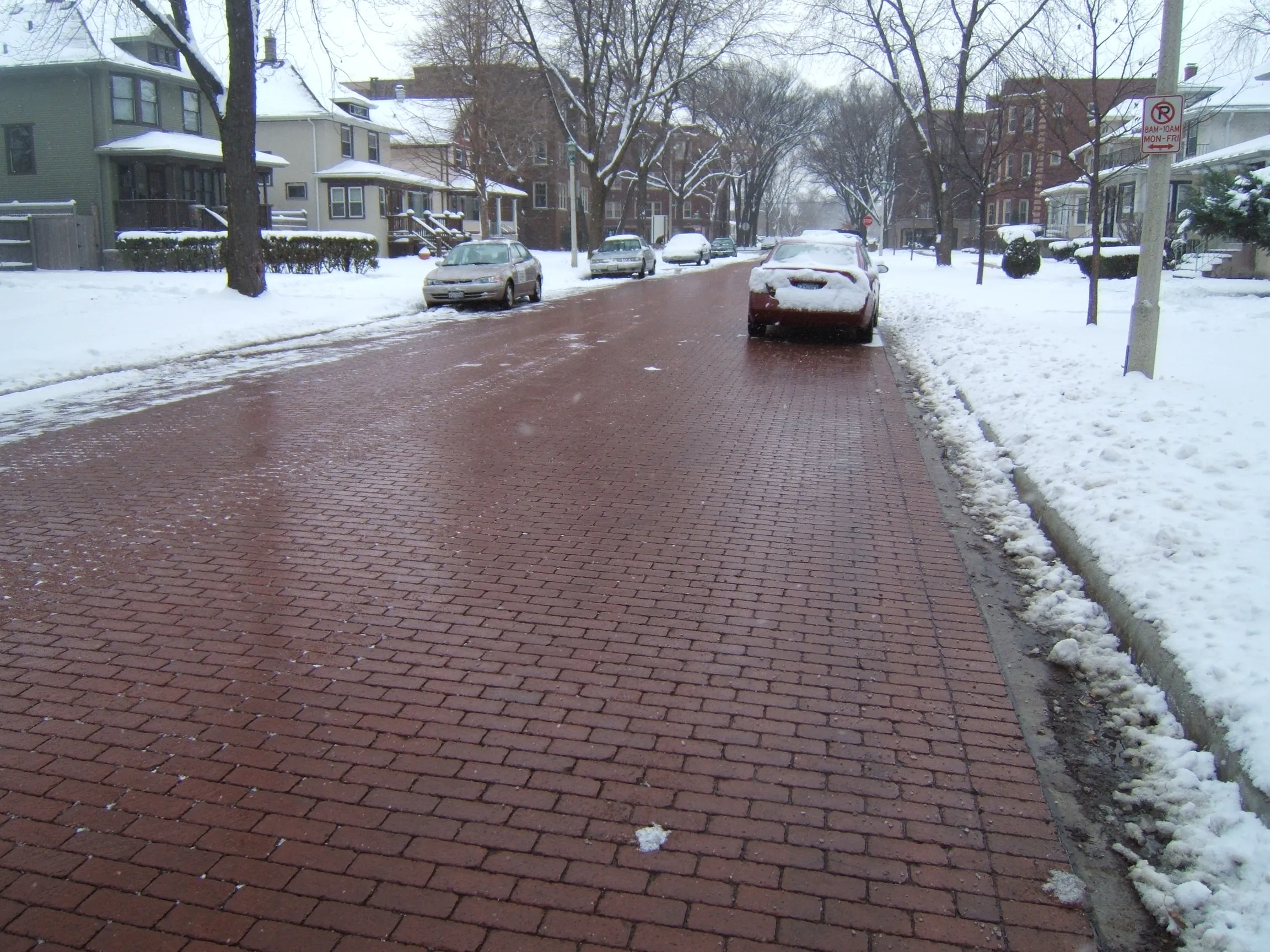
Local governments manage extreme weather infrastructure strain by shifting away from reactive disaster cleanup and focusing entirely on proactive physical adaptation. Administrators must upgrade power grids, overhaul urban zoning laws, and replace traditional concrete water management systems with natural absorption methods. This process requires highly localized risk data to pinpoint exactly where roads, bridges, and municipal utilities will fail under stress before a weather event occurs.
Managing this strain requires continuous investment and strict data analysis. Municipalities combine historical weather patterns with localized climate projections to determine which neighborhoods are most vulnerable to physical damage. They establish clear lines of authority for adaptation governance, allowing them to prioritize construction and utility investments based on strict metrics rather than ad-hoc emergency responses.
Background: How We Got Here
Defining Resilience and Adaptation
Public administration handles infrastructure strain through two distinct but complementary mechanics: resilience and adaptation. Resilience is the baseline capacity of a community’s infrastructure to prepare for, withstand, and recover from disruptive events. It measures how quickly a city can restore power or clear roads after a storm hits.
Adaptation is the intentional adjustment of physical systems. This involves rewriting zoning laws and moving vulnerable infrastructure to reduce harm from changing weather risks. It also means capitalizing on new conditions to maintain citizen well-being. A municipality must integrate both approaches to successfully keep public works functional during a crisis.
The Shift to Green Infrastructure
Historically, governments relied heavily on hard engineering to control water and weather impacts. This approach, known as “gray” infrastructure, centers on building concrete dams, heavy levees, and rigid storm drains. Modern urban planning increasingly abandons this single-track mindset.
Instead, local governments integrate “green infrastructure” into their city grids. Green infrastructure utilizes natural biological and geological processes to manage wet weather impacts. Practical implementations include laying down permeable pavements, constructing bioshields, installing green roofs on municipal buildings, and restoring natural wetlands along coastlines. These natural systems absorb excess stormwater before it floods city streets. They also reduce urban heat island effects during extreme summer temperatures.
The Granular Data Gap
You cannot manage infrastructure strain without accurate risk assessment maps. Standard federal data regularly proves insufficient for the specific needs of local public works departments. Federal Emergency Management Agency (FEMA) flood maps primarily depict riverine and coastal risks.
But these maps frequently lack data on interior and groundwater flooding. These hidden types of flooding are highly common and severely impact uninsured households far away from coastlines. Researchers at the Carnegie Endowment point out that local governments must invest in localized models because standard federal flood maps frequently lack the granular data necessary to track these specific interior physical risks. Administrators build their own local data sets to fill the gaps left by federal agencies.
Key Players and Stakeholders
Municipal Planners and Smart Tech Upgrades
Disaster response teams and municipal planners deploy smart infrastructure technologies to monitor physical strain in real-time. They install specialized sensors and use data analytics across the city grid. These technologies predict potential failure points in the power grid and utility networks long before extreme weather causes a blackout.
Upgrading and enforcing stringent building codes is another critical tool for local planners. Forcing new construction to meet the latest disaster-resistant standards is one of the most cost-effective ways to ensure residential and commercial buildings withstand acute physical risks like hurricanes and winter storms.
Global Case Studies in Action
Municipalities worldwide actively build specialized infrastructure projects to combat their unique geographic vulnerabilities. In Lang Son, Vietnam, a mountainous border province frequently faces intense floods and landslides. Local authorities partnered with the French Development Agency (AFD) to fast-track a major climate resilience project slated for 2027. They are currently upgrading municipal drainage systems, reinforcing regional reservoirs, and building deep river embankments to prevent critical soil erosion.
In Philadelphia, Pennsylvania, city planners recognized that specific neighborhoods are acutely vulnerable to intense rainfall. The city launched a new flood monitoring platform that bypasses slow administrative channels. The system provides real-time risk tracking directly to the public, allowing residents to prepare their properties before the local drainage infrastructure is overwhelmed.
In Luna County, New Mexico, local government leaders prioritize the continuity of critical services during extreme heat and grid strain. They are actively deploying onsite solar power systems across county facilities. This decentralized energy infrastructure cuts annual municipal energy consumption by 35 percent while future-proofing essential public operations against wider regional blackouts.
Taxpayers as the Ultimate Insurer
Funding these upgrades involves multiple stakeholders, but local residents bear the heaviest load. Extreme weather events make more homes and businesses completely uninsurable in the private market. As private insurance companies pull back from high-risk areas, the Environmental and Energy Study Institute explains that taxpayers increasingly absorb the financial burden of recovery, acting as the insurer of last recourse. Local governments have to step in when private markets fail, putting immense strain on municipal budgets.
What’s at Stake
The Perpetual Repair Cycle
Without proactive adaptation, local systems risk falling into a cycle of constant, expensive repairs. Transportation networks, including coastal roads and regional bridges, take heavy damage during storms. If a local government simply rebuilds a washed-out road to its exact pre-storm specifications, it remains just as vulnerable to the next event.
As “100-year storms” occur more frequently, this reactive approach drains city coffers. Upfront investments in hardening this infrastructure are necessary to break the cycle of perpetual repair.
The Return on Investment
The financial strain of extreme weather drives a need for strict cost-benefit analyses. Upgrading infrastructure before a disaster strikes yields massive municipal savings. A 2024 study cited by the National Academy of Public Administration found that every dollar spent on upfront disaster resilience saves thirteen dollars in subsequent damages, economic impact, and cleanup costs. Governments save money by spending heavily before the storm arrives.
Public Perception and Financing Constraints
Implementing resilient infrastructure is heavily influenced by local politics and public perception. Green infrastructure requires active public education. “Gray” infrastructure is deeply ingrained in the public consciousness. Residents instinctively view building a massive concrete levee as a sound, strong protective measure. The more holistic approach of natural watershed absorption can seem far-fetched to voters without robust community engagement and clear explanations.
Administrators face difficult investment choices. Successfully managing climate risk requires politically unpopular decisions about which specific communities and infrastructure projects get priority for limited resilience funding. A major hurdle for local administrators is securing financing tools that address highly localized problems. They cannot simply wait for post-disaster federal grants, and raising broad taxes across an entire municipality is often politically impossible.
Frequently Asked Questions
What is the difference between climate resilience and adaptation?
Resilience is a community’s capacity to prepare for, withstand, and recover from a disruptive weather event. Adaptation involves taking intentional, proactive steps to adjust physical systems, zoning, and infrastructure so they can function under changing climate conditions and minimize future harm.
Why are federal flood maps sometimes insufficient for local infrastructure planning?
While federal tools like FEMA’s Flood Insurance Rate Maps are excellent for tracking riverine and coastal flooding, they frequently lack granular data on groundwater and interior flooding. Interior flooding happens when heavy rainfall overwhelms urban drainage and floods building spaces. Local governments must invest in localized models to capture these highly common risks.
What is green infrastructure in urban planning?
Green infrastructure is an approach that uses natural processes to manage severe weather impacts. Instead of relying solely on “gray” engineering like concrete dams and pipes, cities utilize green roofs, permeable pavements, restored wetlands, and buffer zones to absorb stormwater naturally and reduce urban flooding.
How does climate-resilient infrastructure save taxpayers money?
Rebuilding infrastructure to its exact pre-storm condition leaves it vulnerable to the next event, creating a costly cycle of perpetual repair. Enhancing resilience involves an upfront cost, but research shows that every $1 spent on disaster resilience saves $13 in future damages and cleanup costs, protecting taxpayers who often act as the insurer of last recourse.