
An Omega block affects local weather by trapping high and low-pressure systems in place for weeks, creating severe and prolonged weather extremes. If you live under the central high-pressure zone, you experience relentless heat and clear skies. If you sit under the flanking low-pressure zones, you face continuous rain and flooding. The phenomenon gets its name from the way the jet stream bends around the high-pressure center. On a weather map, the high-altitude air currents form a shape exactly like the uppercase Greek letter Omega.
Normal weather systems move from west to east. They bring a day or two of rain followed by clearing skies. An Omega block stops that movement entirely. The atmosphere essentially develops a traffic jam. Weather fronts crash into the stationary high-pressure ridge and are forced to go around it. This locks entire continents into static weather patterns that refuse to budge. Instead of a passing shower, a region might get three straight weeks of torrential rain. Instead of a hot afternoon, a city might endure a month of blistering, unbroken sunshine.
The Science Behind the Omega Block
The core engine of this weather pattern is the jet stream. This fast-moving river of air high in the atmosphere usually flows in a relatively straight line, driven by the temperature difference between the cold poles and the warm equator. But sometimes it begins to meander and create deep waves. When a large ridge of high pressure pushes northward, it can pinch off and become stranded.
You can see this clearly on meteorological charts that measure geopotential height contours. The lines trace a large bulge upward, flanked by two sharp dips downward. According to the Met Office’s guide on blocking patterns, this stationary setup forces the jet stream to travel north and completely around the high pressure. The typical progression of weather fronts simply stops. The high-pressure center acts as a physical boulder in a stream, forcing the water to flow around it.
The system creates two entirely different weather realities side-by-side:
- The Central Dome: High pressure causes air to sink and compress. This prevents cloud formation and locks in unrelenting heat and dry conditions.
- The Flanking Troughs: Low pressure causes air to rise and cool. This forms heavy clouds and delivers continuous, repetitive rainstorms to the outer edges.
Under the central high-pressure dome, the air physically sinks toward the ground. This subsiding air compresses and warms up through a process called adiabatic heating. As the air sinks and warms, its capacity to hold water vapor increases. This prevents water from condensing into clouds. The result is perfectly clear skies. The sun beats down continuously on the same patch of earth for days or weeks. The ground dries out, losing all its soil moisture. Without any water to evaporate and cool the air, the heat builds on itself day after day.
On the left and right sides of this high-pressure center, the physics run in reverse. As air rises in the flanking low-pressure zones, it expands and cools. Cold air cannot hold as much moisture, so the water vapor condenses and forms heavy rain clouds. Because the whole system is locked in place, the areas under these low-pressure dips receive storm after storm. They get all the rain that was originally supposed to sweep across the region currently baking under the high-pressure dome.
Real-World Examples or Applications
We saw exactly how destructive this setup can be during the 2021 Pacific Northwest heatwave. An Omega block parked itself over the western coast of North America in June. Sinking, compressing air under the high-pressure ridge drove temperatures well past historical norms and deep into the triple digits across British Columbia, Washington, and Oregon.
The agricultural fallout was severe. Prolonged exposure beneath the central ridge dried out soil and vegetation rapidly. Crops like cherries and wheat withered in the fields. Cherries literally cooked on the branches before farm workers could harvest them. The aggressively dry conditions also created prime tinder for widespread wildfires across the region, destroying vast tracts of timber.
Europe experienced a similar extreme event in July 2019. The jet stream formed an enormous loop over the continent. This specific Omega block configuration acted like a vacuum, pulling blisteringly hot air directly north from the Sahara Desert. NASA Science reporting on the European heatwave confirms this event broke all-time high temperature records across Belgium, France, and the Netherlands. Train tracks warped under the intense sun, and roads melted.
The effects reach all the way to the Arctic. In April 2016, a blocking pattern forced warm southerly winds far to the north. This pushed moist, warm air directly over the Greenland ice sheet. The resulting temperature spike triggered an extensive surface melting event weeks earlier than the previous earliest recorded melt. This early melt exposed darker ice underneath, which then absorbed more sunlight and accelerated further melting throughout the summer.
Just a month later in May 2016, another block stalled over Alberta, Canada. Hot, sinking air parked over the region and baked the surrounding boreal forests. The excessively dry conditions fueled the Fort McMurray wildfire, one of the most destructive fire events in Canadian history. The stationary weather pattern meant firefighters had no hope of rain or cooling winds for weeks on end.
While the heat makes headlines, the flooding on the edges of the block is equally dangerous. Areas trapped beneath the stationary lows experience prolonged deluges. The ground eventually saturates completely. Water has nowhere to go, overwhelming local infrastructure. Drainage systems fail. Rivers break their banks. Entire towns face severe flash flooding simply because the low-pressure system refuses to move eastward.
What Scientists Still Don’t Know / Current Research
Omega blocks are naturally occurring phenomena. Atmospheric fluid mechanics naturally produce standing waves under certain conditions. But meteorologists are intensely debating how planetary warming influences the frequency and strength of these blocks.
Current research focuses heavily on the polar vortex and the temperature difference between the Arctic and the equator. Normally, a strong temperature contrast keeps the jet stream flowing fast and straight. As the Arctic warms faster than the rest of the planet, that temperature gap shrinks.
A weaker temperature difference leads to a slower, wobblier jet stream. Scientists suspect this slower flow makes the jet stream more prone to getting “stuck” in these deep wavy patterns. They are studying whether atmospheric instability is crossing critical thresholds that lock these blocking heatwaves in place more often. Researchers are looking at historical ice core data and tree rings to figure out if these patterns stalled out this frequently in previous centuries.
There is still a lot of uncertainty. Forecasting exactly when a block will break down is notoriously difficult. Computer weather models often struggle to predict the end of an Omega block. The high-pressure ridge creates a self-sustaining feedback loop that resists outside forces. A cold front might approach the block and simply dissipate against the wall of high pressure.
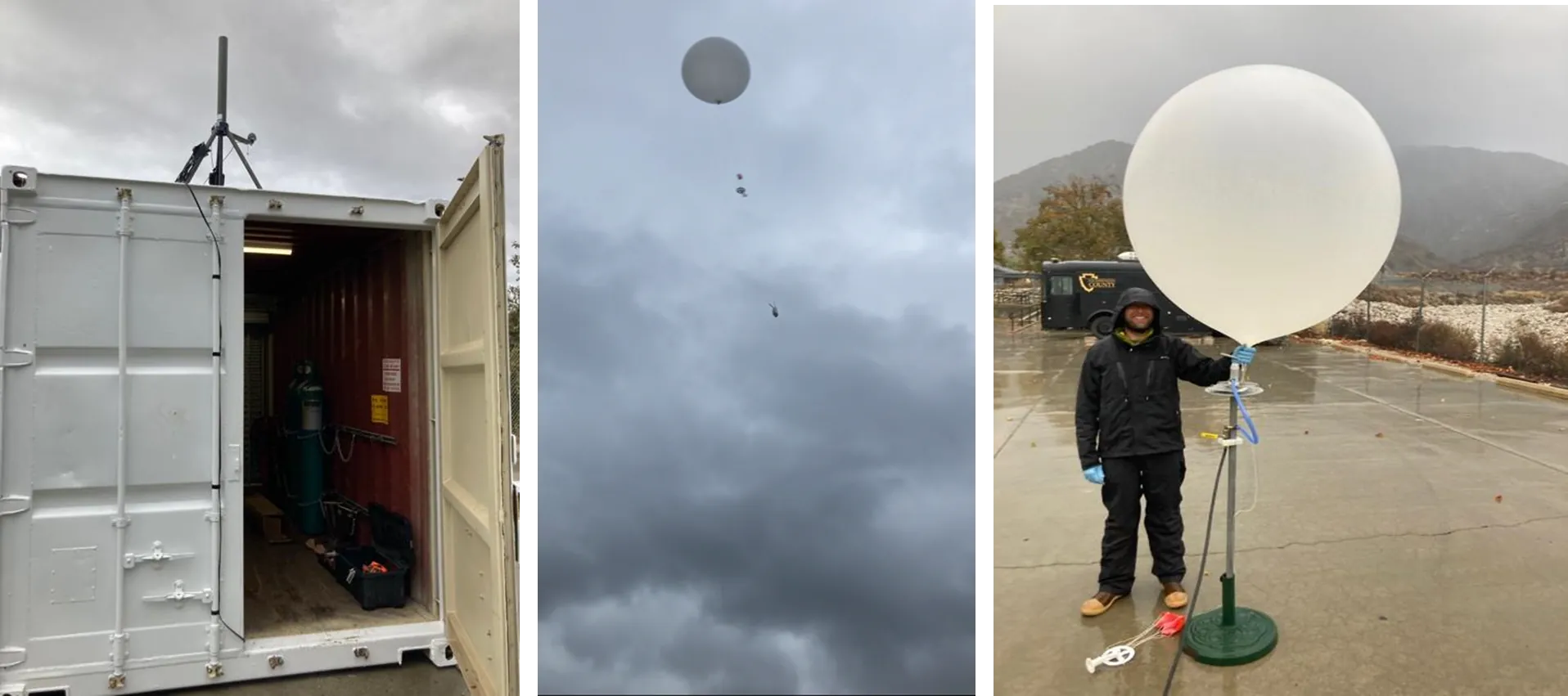
Researchers need better data on the interaction between ocean temperatures and upper-level winds to improve these long-range forecasts. They are currently launching weather balloons and deploying ocean buoys to measure how heat from the sea surface transfers into the atmosphere to strengthen or weaken these blocks. Until we map those mechanics perfectly, meteorologists will continue to struggle predicting the exact day an Omega block will finally collapse.
Common Myths Debunked
People often assume that an Omega block just means a heatwave. This ignores half of the weather system. A block guarantees extreme heat for the people in the middle, but it guarantees endless rain and cold for the people on the sides. It is a dual-extreme event. You cannot have the immense ridge of high pressure without the corresponding troughs of low pressure flanking it.
Another widespread myth is that high pressure always brings “good” weather. Television meteorologists generally associate high pressure with fair weather, clear skies, and calm winds. But in a blocking pattern, “fair” weather turns into a hazard. Weeks of unblinking sunlight without a drop of rain lead directly to drought and agricultural collapse. High pressure is only “good” when it moves along after a few days.
Many also believe these blocks are rare, freak anomalies. They are actually a standard feature of the atmosphere. They happen every single year. The issue is where they set up and how intense the pressure gradients are. A block over the open ocean goes largely unnoticed by the public. A block centered over a heavily populated agricultural region becomes a disaster.
Finally, people think we can somehow break up the block using modern technology. There are persistent rumors that cloud seeding or atmospheric manipulation can pop the high-pressure dome. In reality, the scale of an Omega block is incomprehensibly huge. It spans thousands of miles and involves millions of tons of moving air. Humans do not have the power or the technology to alter a stalled jet stream.
Frequently Asked Questions
What does an Omega Block look like on a weather map?
On a weather map showing upper-level wind patterns or pressure contours, it looks like the uppercase Greek letter Omega. You will see a prominent, rounded bulge pointing toward the poles. This is the large ridge of high pressure. It is flanked on its east and west sides by two sharp “dips” of low pressure pointing toward the equator.
How long can an Omega block last?
Because the high-pressure system becomes stuck and breaks away from the normal flow of the jet stream, an Omega block can persist for a very long time. They routinely last for several days. In more extreme setups, they can hold their position for weeks or exceptionally even months, subjecting the affected areas to prolonged periods of identical weather.
Does an Omega Block cause droughts or floods?
It causes both simultaneously, depending entirely on your geographic location relative to the block. If you are positioned beneath the central high-pressure zone, you will experience prolonged dry heat, potential droughts, and elevated fire risks. If you are stuck under the low-pressure zones on the fringes of the system, you will face persistent rain, wind, and an elevated risk of flooding.