
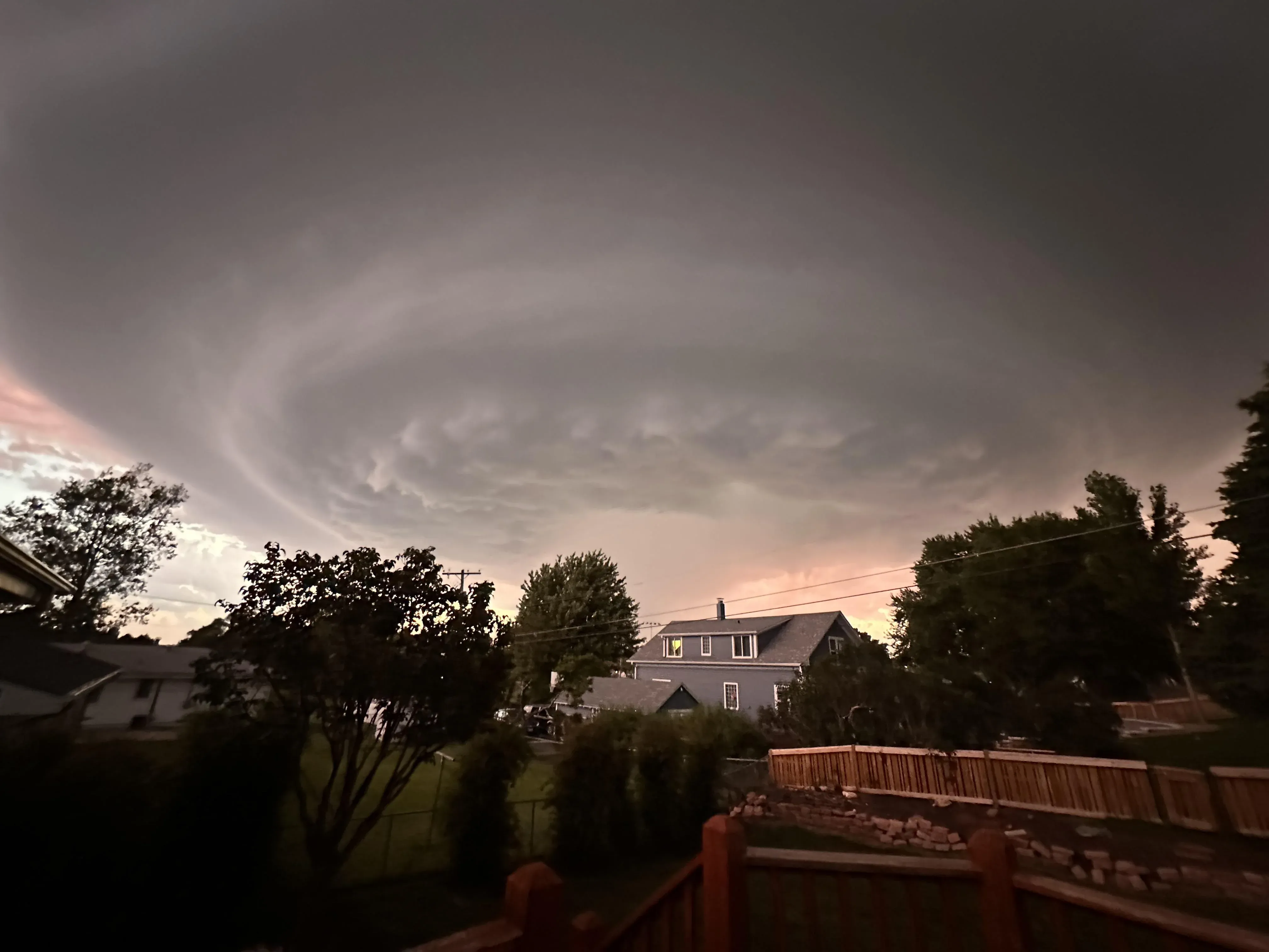
Residents across Omaha, eastern Nebraska, and western Iowa are preparing for a highly volatile round of severe storms this Monday afternoon and evening. A stubborn weather pattern is locking the Great Plains into a multi-day severe weather sequence.
Meteorologists warn that today presents the highest danger in this active stretch. The atmospheric setup is primed for discrete supercells capable of dropping gigantic hailstones and generating long-track tornadoes.
The Physics of the Great Plains Collision
The engine behind this explosive supercell development is a textbook atmospheric collision. Unseasonably warm, moisture-rich air pulling straight from the Gulf of Mexico is crashing directly into cold, dry air dropping down from Canada. This violent mixing is taking place right over a stalled frontal boundary sitting across eastern Nebraska.
This clash creates extreme instability in the upper atmosphere, according to a detailed breakdown of the multi-day storm sequence and the extreme risk of softball-sized hail. When you have this much atmospheric energy stacked up, the updrafts inside these thunderstorms can suspend ice chunks long enough for them to grow up to five inches in diameter.
Elevated Threat Levels and Flooding Risks
The Storm Prediction Center elevated the region’s threat level to a 4 out of 5, or a “moderate risk,” for today. This broad severe weather outlook issued by the Storm Prediction Center highlights the severe tornado potential alongside wind gusts that could easily exceed 75 mph.
Flash flooding is another critical hazard developing today. The ground across western Iowa and eastern Nebraska is completely saturated from heavy rainfall over the weekend. The severe storms firing off this afternoon will drop heavy precipitation over these exact same areas.