
The water in the tropical Pacific Ocean is heating up rapidly, and it has scientists closely monitoring the potential for a “super” El Niño event by the end of the year. In April, a pair of twin cyclones straddling the equator managed to temporarily reverse the normal east-to-west trade winds. This sudden shift kicked off a fascinating chain reaction beneath the ocean surface.
The Mechanics of an Underwater Heatwave
That wind reversal triggered what oceanographers call a downwelling Kelvin wave. It is essentially a deep, underwater pulse of warm water that travels eastward across the Pacific. This wave has now reached the eastern edge of the ocean basin, fueling intense warming right off the coast of South America, according to a recent breakdown by The News Minute outlining the NOAA’s mid-May forecasting probabilities.
But creating a true super El Niño takes more than just one underwater wave. Forecasters are currently stuck in what is known as the “spring predictability barrier.” While models suggest a greater than 60% chance of a strong El Niño forming, the crucial feedback loop between the ocean and the atmosphere is not fully locked in yet. Scientists like Pedro DiNezio point out that the sustained wind patterns needed to keep this warming alive have not definitively shown up. The initial twin cyclones that helped trigger the warming were a strong start, but the atmosphere needs to cooperate to sustain it.
If the ocean-atmosphere connection does solidify, the global impacts are going to be serious. A strong El Niño naturally pushes global temperatures to new extremes. It also acts as an atmospheric switchboard for regional weather disasters. Forecasters warn it could trigger extreme drought conditions in the Amazon, widespread fires across Indonesia, and destructive flooding in Peru. Meanwhile, California and southern parts of South America usually see unusually heavy precipitation. The NOAA Climate Prediction Center’s earlier October-to-December projections have been mapping these potential disruptions for months.
How a Pacific Warm-Up Threatens India’s Crucial Monsoon Season
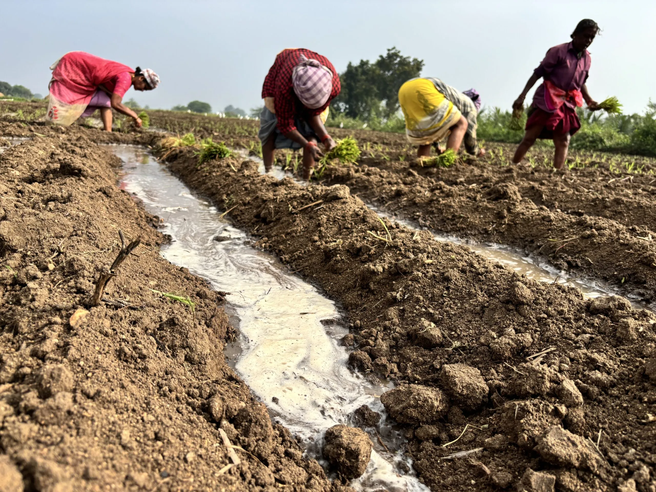
The real-world stakes of this ocean anomaly go far beyond just higher average global temperatures. Looking at historical data, strong El Niño events consistently weaken the vital summer monsoon rains across India.
This historical connection is a primary focus for agricultural economists right now. Even a modest disruption to the monsoon cycle can drastically reduce crop yields, leading to serious food and water shortages for hundreds of millions of people across the subcontinent. The difference between a “strong” and a “super” El Niño often dictates whether these agricultural hubs experience a difficult harvest or a full-scale emergency.