
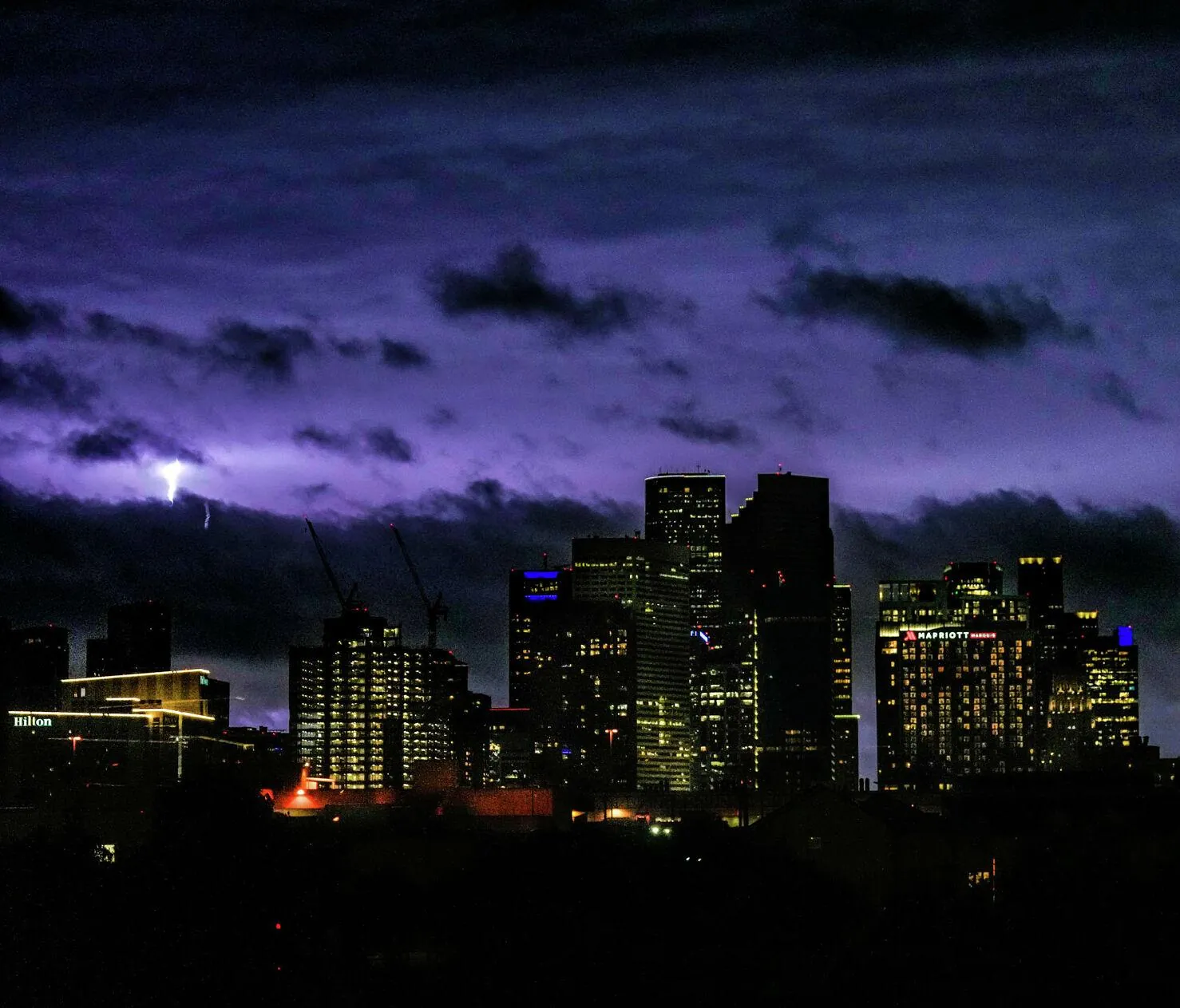
The Greater Houston area is bracing for an intense overnight weather event. An aggressive cold front is preparing to collide with a sweltering atmospheric heat dome. Following a blisteringly hot Mother’s Day weekend where compression pushed “feels-like” temperatures near 100 degrees, the region is now in the crosshairs of a highly volatile shift.
Meteorologists expect a severe squall line to strike the Brazos Valley first. The severe weather is then forecast to push rapidly southeast across the metropolitan region. The primary line of thunderstorms will likely tear through the I-69 and Highway 59 corridor between 3:00 a.m. and sunrise on Monday morning.
Residents face a complex matrix of overnight threats. The advancing system brings the potential for damaging wind gusts, heavy rainfall, hail, and the sudden spin-up of isolated tornadoes. These extreme atmospheric dynamics dictate the exact timeline for the overnight severe weather risk across the Houston metro.
CenterPoint Energy customers are dealing with a heightened risk of power outages. High winds and intense lightning will sweep through the area while most residents are sleeping. Similar rapid atmospheric swings recently hit the southern hemisphere, where a sudden polar blast brought rare snow after a historic heatwave.
How Monday’s Front Permanently Breaks the Early-Summer Humidity
The violent overnight transition is actually a necessary atmospheric reset. The passing of this specific cold front will completely break the intense early-summer humidity that dominated southeast Texas all weekend.
Once the frontal boundary clears the Texas coast by sunrise, the severe threat will vanish entirely. The oppressive moisture and near 100-degree heat indices will be flushed out into the Gulf of Mexico. The National Weather Service confirms that a much more comfortable 7-day forecast for a calm, dry week ahead will replace the storm system.
Daytime highs will plummet to a highly comfortable range. Houston residents will experience sunny, dry days with temperatures dropping into the low to mid-80s by Tuesday. The sudden clash is dangerous in the short term, but it secures a remarkably mild stretch of mid-May weather for the entire region.