
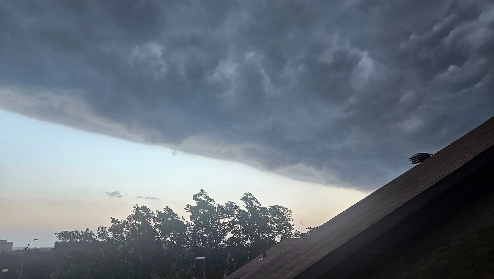
Environment Canada has triggered urgent severe thunderstorm alerts—officially designated as a “Yellow Warning”—across large swathes of southwestern Ontario today. But this is not just a typical spring shower. The globe is currently undergoing a massive oceanic transition. The World Meteorological Organization says we are hurtling toward an early El Niño this month. That oceanic heat is destabilizing our atmosphere. It is creating the exact volatile conditions required to fuel today’s intense, destructive weather.
A potent line of thunderstorms is currently tearing across the province. Weather radar shows the violent storm line stretching from near Flamborough down to Port Burwell Provincial Park. It is moving aggressively eastward at 70 km/h. Meteorologists warn these storm cells are packing destructive wind gusts up to 90 km/h and nickel-sized hail, according to the Environment Canada warning impacting Brantford and Norfolk County.
Crucially, forecasters have stated that localized atmospheric rotation within the system means an isolated tornado risk simply cannot be ruled out. The most immediate threat zones encompass Brantford, Norfolk County, Haldimand County, and Woodstock. Emergency Management Ontario is actively urging residents in the path of the storm to seek indoor shelter immediately and stay far away from windows.
Utility outages are highly likely as flying debris and falling tree limbs strike power grids. It is a fascinating but incredibly dangerous display of modern meteorology in action. The entire region is locked into a highly unstable atmospheric pattern, fueling this broader severe storm setup across Southern Ontario.
How the Early El Niño is Rewriting Ontario’s Spring Storm Season
What makes today’s severe weather outbreak so fascinating is the global engine driving it. According to the WMO’s May-June-July 2026 seasonal update, we are seeing a nearly unanimous climate model consensus pointing toward a rapid warming trend. The Pacific Ocean is shifting fast.
This early El Niño onset fundamentally alters the jet stream over North America. Instead of a gradual, predictable spring thaw, we get extreme temperature clashes. Cold northern air violently collides with surging tropical heat. The result? Fast-moving, highly convective storm lines that can drop 90 km/h winds and spin up isolated tornadoes weeks before the traditional peak summer storm season even begins. As the oceans warm, our local skies become a battleground.